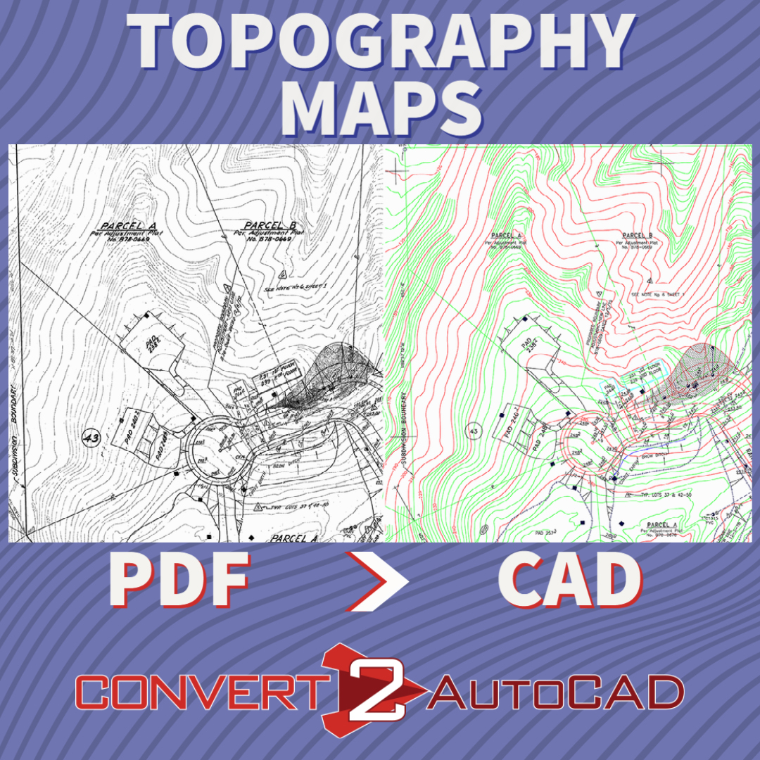
Convert plot plans and topography plans to DWG
Needing to know the topography of a property is very important for building structures and roads, and that’s where topographic maps are a must. You need to know where you will build around the given geography, and how water will drain in the property. Most of our topography has been surveyed, and mapped by the USGS, and topographic maps are available for free. Just find your property and download the map as a PDF.
I have downloaded my free topo map from the USGS, now what?
You will need it converted to a CAD file in order to work on it. The easy thing would just be to send us the PDF and specify your property, and we will have it converted for you in just a few days. You will receive a DWG file, and now you can design your home, structure, ADU, roads, and outbuildings on top of the topography. If you are a civil engineer, this will give you a jumpstart on drafting the grading and foundations for your project.

I don’t use topographic maps, do you offer this service for landscape plans as well?
Absolutely. We work with many landscape architects to help them with topography, planting plans, drainage plans, and irrigation plans. We have worked with many landscape design companies and engineers like Grounded Landscape Architecture, Alidade Engineering, and Wilkinson Design Group.

Who is Convert2AutoCAD?
Located in sunny Del Mar, California, we are part of the Del Mar Blue Print team. Convert2AutoCAD is our side brand for architectural and engineering service. We have been offering CAD services to engineers, architects, interior designers and drafters for over 15 years. Convert2AutoCAD will help you with your next project. We would love to hear from you.







![PDF2CAD vs. Convert2AutoCAD [video]](https://convert2autocad.com/wp-content/uploads/2018/07/pdf2cad.jpg)
You must be logged in to post a comment.